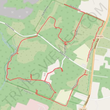
Whittemore Wildlife Sanctuary loop
- Distance: 5.8 Km
- Elevation gain: 71 m
- Maximum elevation: 86 m
- Elevation loss: 74 m
- Minimum elevation: 55 m
- Moving time: 1 h 25 m
- Moving speed: 4.1 Km/h
- Maximum speed: 13.7 Km/h
- Total time: 1 h 50 m
- Global speed: 3.1 Km/h
Interactive trail map
Trail profile
- Distance: 5.8 Km
- Elevation gain: 71 m
- Maximum elevation: 86 m
- Elevation loss: 74 m
- Minimum elevation: 55 m
- Moving time: 1 h 25 m
- Moving speed: 4.1 Km/h
- Maximum speed: 13.7 Km/h
- Total time: 1 h 50 m
- Global speed: 3.1 Km/h
About this trail
Name: Whittemore Wildlife Sanctuary loop trail, distance, elevation, map, profile, GPS track
Coordinates: 40.65327 -74.76226 40.66286 -74.75019