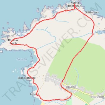
Butt of Ness lighthouse loop walk
- Distance: 6.1 Km
- Elevation gain: 77 m
- Maximum elevation: 36 m
- Elevation loss: 78 m
- Minimum elevation: 4 m
- Moving time: 1 h 24 m
- Moving speed: 4.3 Km/h
- Maximum speed: 8.1 Km/h
- Total time: 1 h 50 m
- Global speed: 3.3 Km/h
Interactive trail map
Trail profile
- Distance: 6.1 Km
- Elevation gain: 77 m
- Maximum elevation: 36 m
- Elevation loss: 78 m
- Minimum elevation: 4 m
- Moving time: 1 h 24 m
- Moving speed: 4.3 Km/h
- Maximum speed: 8.1 Km/h
- Total time: 1 h 50 m
- Global speed: 3.3 Km/h
About this trail
Name: Butt of Ness lighthouse loop walk trail, distance, elevation, map, profile, GPS track
Start: Eoropie, Western Isles, Scotland, HS2 0XH, United Kingdom (58.50284 -6.26478)
End: B8013, Eoropie, Western Isles, Scotland, HS2 0XH, United Kingdom (58.50262 -6.26491)
Coordinates: 58.49970 -6.28085 58.51574 -6.25445