Le Street Art dans le Sud Parisien
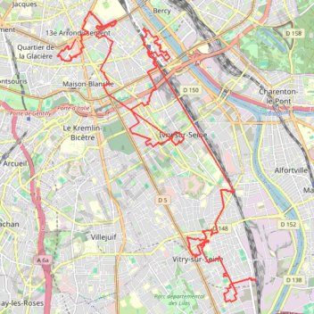
- Distance: 28.4 Km
- Elevation gain: 162 m
- Maximum elevation: 72 m
- Elevation loss: 192 m
- Minimum elevation: 32 m
Interactive trail map
Trail profile
- Distance: 28.4 Km
- Elevation gain: 162 m
- Maximum elevation: 72 m
- Elevation loss: 192 m
- Minimum elevation: 32 m
About this trail
Name: Le Street Art dans le Sud Parisien trail, distance, elevation, map, profile, GPS track
Coordinates: 48.77897 2.34947 48.83647 2.40925