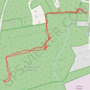
Old Bernstein Property
- Distance: 4.2 Km
- Elevation gain: 41 m
- Maximum elevation: 136 m
- Elevation loss: 41 m
- Minimum elevation: 116 m
- Moving time: 1 h 55 m
- Moving speed: 2.2 Km/h
- Maximum speed: 10.8 Km/h
- Total time: 2 h 45 m
- Global speed: 1.5 Km/h
Interactive trail map
Trail profile
- Distance: 4.2 Km
- Elevation gain: 41 m
- Maximum elevation: 136 m
- Elevation loss: 41 m
- Minimum elevation: 116 m
- Moving time: 1 h 55 m
- Moving speed: 2.2 Km/h
- Maximum speed: 10.8 Km/h
- Total time: 2 h 45 m
- Global speed: 1.5 Km/h
About this trail
Name: Old Bernstein Property trail, distance, elevation, map, profile, GPS track
Coordinates: 41.60432 -72.36826 41.61186 -72.35684