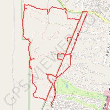
West Desert Trails
- Distance: 14.4 Km
- Elevation gain: 89 m
- Maximum elevation: 957 m
- Elevation loss: 103 m
- Minimum elevation: 911 m
- Moving time: 1 h 22 m
- Moving speed: 10.5 Km/h
- Maximum speed: 32.7 Km/h
- Total time: 1 h 46 m
- Global speed: 8.1 Km/h
Interactive trail map
Trail profile
- Distance: 14.4 Km
- Elevation gain: 89 m
- Maximum elevation: 957 m
- Elevation loss: 103 m
- Minimum elevation: 911 m
- Moving time: 1 h 22 m
- Moving speed: 10.5 Km/h
- Maximum speed: 32.7 Km/h
- Total time: 1 h 46 m
- Global speed: 8.1 Km/h
About this trail
Name: West Desert Trails trail, distance, elevation, map, profile, GPS track
End: South Camino del Sol, Green Valley, Pima County, Arizona, 85622, United States (31.85375 -111.00857)
Coordinates: 31.83180 -111.02573 31.85734 -111.00640