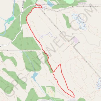
Extension Ridge Trail Loop
Interactive trail map
Trail profile
- Distance: 8.9 Km
- Elevation gain: 258 m
- Maximum elevation: 250 m
- Elevation loss: 258 m
- Minimum elevation: 147 m
About this trail
Name: Extension Ridge Trail Loop trail, distance, elevation, map, profile, GPS track
Coordinates: 49.10555 -123.97317 49.13323 -123.95159
Other hiking, mountain biking, running and outdoor activity trails
Click on a trail to view its statistics, map and profile.
BBF loop to the Skydeck in Nanaimo
Canada > British Columbia > Cowichan Valley Regional District > Area A (Mill Bay / Malahat) > Mill Bay
BBF loop to the Skydeck
Distance: 323.5 Km • Elevation gain: 6,222 m • Maximum elevation: 706 m