Braggin Rights to Long Distance Loop
West Bragg Creek Provincial Recreation Area. Kananaskis Country Public Land Use Zone. #Hiking #MTB #Loop #WestBraggCreek #Kananaskis
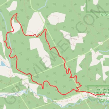
- Distance: 8.7 Km
- Elevation gain: 294 m
- Maximum elevation: 1,636 m
- Elevation loss: 294 m
- Minimum elevation: 1,408 m
Interactive trail map
Trail profile
- Distance: 8.7 Km
- Elevation gain: 294 m
- Maximum elevation: 1,636 m
- Elevation loss: 294 m
- Minimum elevation: 1,408 m
About this trail
Name: Braggin Rights to Long Distance Loop trail, distance, elevation, map, profile, GPS track
Coordinates: 50.94832 -114.72560 50.96465 -114.69360
Other hiking, mountain biking, running and outdoor activity trails
Click on a trail to view its statistics, map and profile.
Braggin Rights to Long Distance Loop
Canada > Alberta > Kananaskis Improvement District
Distance: 8.7 Km • Elevation gain: 294 m • Maximum elevation: 1,636 m
Merlin Kestrel Loop
Canada > Alberta > Kananaskis Improvement District
Distance: 15.0 Km • Elevation gain: 386 m • Maximum elevation: 1,686 m