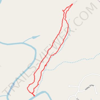
Alexander's Ford Loop Trail
- Distance: 4.0 Km
- Elevation gain: 52 m
- Maximum elevation: 277 m
- Elevation loss: 52 m
- Minimum elevation: 227 m
- Moving time: 1 h 7 m
- Moving speed: 3.6 Km/h
- Maximum speed: 9.3 Km/h
- Total time: 1 h 30 m
- Global speed: 2.7 Km/h
Interactive trail map
Trail profile
- Distance: 4.0 Km
- Elevation gain: 52 m
- Maximum elevation: 277 m
- Elevation loss: 52 m
- Minimum elevation: 227 m
- Moving time: 1 h 7 m
- Moving speed: 3.6 Km/h
- Maximum speed: 9.3 Km/h
- Total time: 1 h 30 m
- Global speed: 2.7 Km/h
About this trail
Name: Alexander's Ford Loop Trail trail, distance, elevation, map, profile, GPS track
Start: Alexander's Ford Trail, Polk County, North Carolina, United States (35.31243 -82.04076)
End: Alexander's Ford Trail, Polk County, North Carolina, United States (35.31240 -82.04072)
Coordinates: 35.29898 -82.04880 35.31243 -82.04072