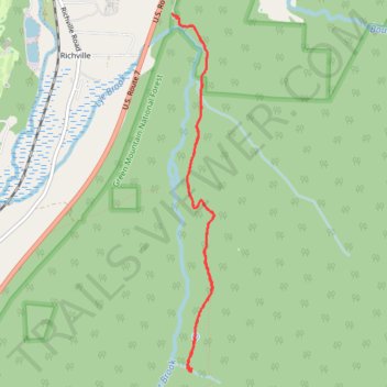
Lye Brook Falls Trail
- Distance: 7.8 Km
- Elevation gain: 368 m
- Maximum elevation: 504 m
- Elevation loss: 371 m
- Minimum elevation: 238 m
- Moving time: 2 h 49 m
- Moving speed: 2.8 Km/h
- Maximum speed: 8.0 Km/h
- Total time: 4 h 13 m
- Global speed: 1.8 Km/h
Interactive trail map
Trail profile
- Distance: 7.8 Km
- Elevation gain: 368 m
- Maximum elevation: 504 m
- Elevation loss: 371 m
- Minimum elevation: 238 m
- Moving time: 2 h 49 m
- Moving speed: 2.8 Km/h
- Maximum speed: 8.0 Km/h
- Total time: 4 h 13 m
- Global speed: 1.8 Km/h
About this trail
Name: Lye Brook Falls Trail trail, distance, elevation, map, profile, GPS track
Coordinates: 43.13117 -73.04135 43.15912 -73.03682
Other hiking, mountain biking, running and outdoor activity trails
Click on a trail to view its statistics, map and profile.
Lye Brook Falls Trail in Green Mountain National Forest
United States > Vermont > Bennington County > Manchester Center > Manchester
The Lye Brook Falls Trail in Vermont provides a refreshing, immersive experience in the Green Mountain National Forest. The hike is mostly through a tranquil forest of hardwoods, with seasonal variations enhancing the scenery, from wildflowers in spring to vibrant fall colors. Along the way, you'll cross…
Distance: 7.3 Km • Elevation gain: 309 m • Maximum elevation: 504 m