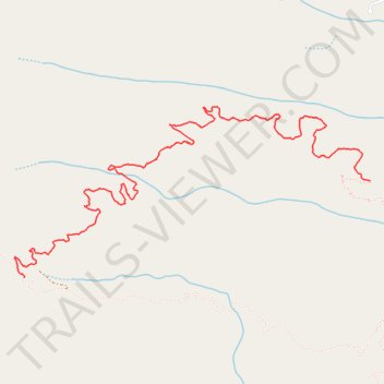
Lottie Queen Stamper Trail
- Distance: 6.4 Km
- Elevation gain: 384 m
- Maximum elevation: 803 m
- Elevation loss: 193 m
- Minimum elevation: 588 m
- Moving time: 1 h 33 m
- Moving speed: 4.1 Km/h
- Maximum speed: 10.4 Km/h
- Total time: 1 h 49 m
- Global speed: 3.5 Km/h
Interactive trail map
Trail profile
- Distance: 6.4 Km
- Elevation gain: 384 m
- Maximum elevation: 803 m
- Elevation loss: 193 m
- Minimum elevation: 588 m
- Moving time: 1 h 33 m
- Moving speed: 4.1 Km/h
- Maximum speed: 10.4 Km/h
- Total time: 1 h 49 m
- Global speed: 3.5 Km/h
About this trail
Name: Lottie Queen Stamper Trail trail, distance, elevation, map, profile, GPS track
Start: Upper Boulders Trail, Rutherford County, North Carolina, 28746, United States (35.49115 -82.19206)
Coordinates: 35.48520 -82.21899 35.49577 -82.19206