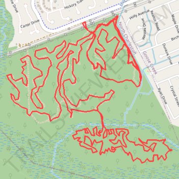
Wannamaker North Ride
- Distance: 22.3 Km
- Elevation gain: 50 m
- Maximum elevation: 12 m
- Elevation loss: 50 m
- Minimum elevation: 2 m
- Moving time: 1 h 51 m
- Moving speed: 12.1 Km/h
- Maximum speed: 30.7 Km/h
- Total time: 1 h 53 m
- Global speed: 11.8 Km/h
Interactive trail map
Trail profile
- Distance: 22.3 Km
- Elevation gain: 50 m
- Maximum elevation: 12 m
- Elevation loss: 50 m
- Minimum elevation: 2 m
- Moving time: 1 h 51 m
- Moving speed: 12.1 Km/h
- Maximum speed: 30.7 Km/h
- Total time: 1 h 53 m
- Global speed: 11.8 Km/h
About this trail
Name: Wannamaker North Ride trail, distance, elevation, map, profile, GPS track
Coordinates: 32.98740 -80.06661 32.99945 -80.05049