Tea Kettle Trail
- Distance: 9.2 Km
- Elevation gain: 223 m
- Maximum elevation: 443 m
- Elevation loss: 223 m
- Minimum elevation: 376 m
- Moving time: 2 h 5 m
- Moving speed: 4.4 Km/h
- Maximum speed: 11.6 Km/h
- Total time: 2 h 46 m
- Global speed: 3.3 Km/h
Interactive trail map
Trail profile
- Distance: 9.2 Km
- Elevation gain: 223 m
- Maximum elevation: 443 m
- Elevation loss: 223 m
- Minimum elevation: 376 m
- Moving time: 2 h 5 m
- Moving speed: 4.4 Km/h
- Maximum speed: 11.6 Km/h
- Total time: 2 h 46 m
- Global speed: 3.3 Km/h
About this trail
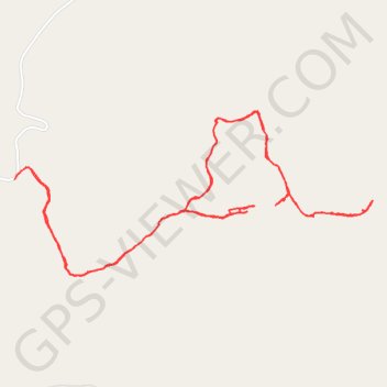
Name: Tea Kettle Trail trail, distance, elevation, map, profile, GPS track
Start: Madison County, Arkansas, United States (36.26756 -93.73291)
End: Madison County, Arkansas, United States (36.26745 -93.73298)
Coordinates: 36.26220 -93.73298 36.27115 -93.70886