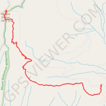
Import a GPX file

Mount Ellinor

Olympic National Forest. #Hiking #Mountain #Forest #Nature

  • Distance: 9.8 Km
  • Elevation gain: 1,019 m
  • Maximum elevation: 1,788 m
  • Elevation loss: 1,019 m
  • Minimum elevation: 803 m

Interactive trail map

Trail profile

  • Distance: 9.8 Km
  • Elevation gain: 1,019 m
  • Maximum elevation: 1,788 m
  • Elevation loss: 1,019 m
  • Minimum elevation: 803 m

About this trail

Gear up for your next adventure:

🔥Windproof Plasma Lighters - USB rechargeable lighters that work in high-altitude winds
🧳Outdoor Travel Organizers - Gear organization accessories
🎒40L Day Hiking Backpacks - Comfortable packs with hydration support for long days exploring topographic peaks
📦Crushproof Equipment Cases - Safe transport for sensitive surveying and mapping instruments
🛌Compact Down Sleeping Bags - Warmth without the bulk, ideal for backcountry camping

As an Amazon Associate, this site earns from qualifying purchases at no extra cost to you.