Giba Gorge Mountain Bike trail, Honey Trails
Bicycle Tour
- Distance: 23.4 Km
- Elevation gain: 755 m
- Maximum elevation: 643 m
- Elevation loss: 755 m
- Minimum elevation: 365 m
- Moving time: 1 h 44 m
- Moving speed: 13.4 Km/h
- Maximum speed: 35.2 Km/h
- Total time: 1 h 49 m
- Global speed: 12.8 Km/h
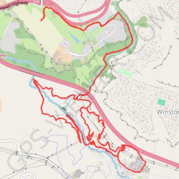
Interactive trail map
Trail profile
- Distance: 23.4 Km
- Elevation gain: 755 m
- Maximum elevation: 643 m
- Elevation loss: 755 m
- Minimum elevation: 365 m
- Moving time: 1 h 44 m
- Moving speed: 13.4 Km/h
- Maximum speed: 35.2 Km/h
- Total time: 1 h 49 m
- Global speed: 12.8 Km/h
About this trail
Name: Giba Gorge Mountain Bike trail, Honey Trails trail, distance, elevation, map, profile, GPS track
Coordinates: -29.82649 30.76128 -29.79977 30.78224