Joker's Hill Loop
Thornton Bales Conservation Area. #Hiking #Running #Loop #ThorntonBales
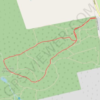
- Distance: 2.9 Km
- Elevation gain: 50 m
- Maximum elevation: 324 m
- Elevation loss: 50 m
- Minimum elevation: 298 m
Interactive trail map
Trail profile
- Distance: 2.9 Km
- Elevation gain: 50 m
- Maximum elevation: 324 m
- Elevation loss: 50 m
- Minimum elevation: 298 m
About this trail
Name: Joker's Hill Loop trail, distance, elevation, map, profile, GPS track
Coordinates: 44.03453 -79.51737 44.04102 -79.50437
Other hiking, mountain biking, running and outdoor activity trails
Click on a trail to view its statistics, map and profile.