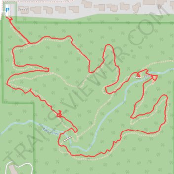
Riley Creek Conservation Area loop walk
- Distance: 2.1 Km
- Elevation gain: 31 m
- Maximum elevation: 285 m
- Elevation loss: 31 m
- Minimum elevation: 264 m
- Moving time: 39 m 50 s
- Moving speed: 3.2 Km/h
- Maximum speed: 6.3 Km/h
- Total time: 43 m 36 s
- Global speed: 2.9 Km/h
Interactive trail map
Trail profile
- Distance: 2.1 Km
- Elevation gain: 31 m
- Maximum elevation: 285 m
- Elevation loss: 31 m
- Minimum elevation: 264 m
- Moving time: 39 m 50 s
- Moving speed: 3.2 Km/h
- Maximum speed: 6.3 Km/h
- Total time: 43 m 36 s
- Global speed: 2.9 Km/h
About this trail
Name: Riley Creek Conservation Area loop walk trail, distance, elevation, map, profile, GPS track
Coordinates: 44.82295 -93.50041 44.82589 -93.49562