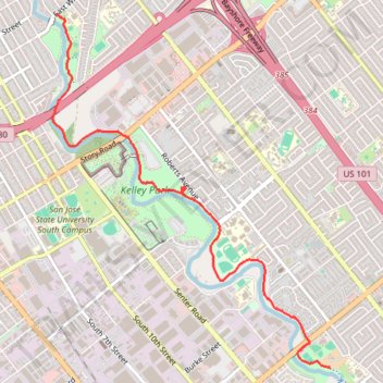
Coyote Creek Trail between Tully Road and William Street
- Distance: 5.8 Km
- Elevation gain: 27 m
- Maximum elevation: 48 m
- Elevation loss: 39 m
- Minimum elevation: 25 m
- Moving time: 19 m 27 s
- Moving speed: 18.0 Km/h
- Maximum speed: 32.4 Km/h
- Total time: 21 m 37 s
- Global speed: 16.2 Km/h
Interactive trail map
Trail profile
- Distance: 5.8 Km
- Elevation gain: 27 m
- Maximum elevation: 48 m
- Elevation loss: 39 m
- Minimum elevation: 25 m
- Moving time: 19 m 27 s
- Moving speed: 18.0 Km/h
- Maximum speed: 32.4 Km/h
- Total time: 21 m 37 s
- Global speed: 16.2 Km/h
About this trail
Name: Coyote Creek Trail between Tully Road and William Street trail, distance, elevation, map, profile, GPS track
Coordinates: 37.30918 -121.86821 37.33756 -121.84021