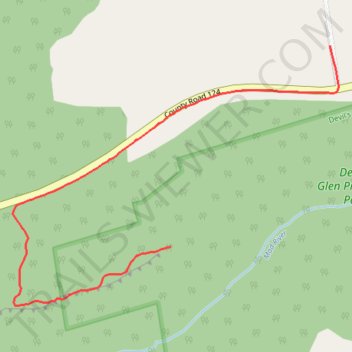
Devil's Glen Climbers Trail
- Distance: 1.5 Km
- Elevation gain: 28 m
- Maximum elevation: 519 m
- Elevation loss: 48 m
- Minimum elevation: 489 m
- Moving time: 20 m 34 s
- Moving speed: 4.5 Km/h
- Maximum speed: 7.5 Km/h
- Total time: 21 m 37 s
- Global speed: 4.3 Km/h
Interactive trail map
Trail profile
- Distance: 1.5 Km
- Elevation gain: 28 m
- Maximum elevation: 519 m
- Elevation loss: 48 m
- Minimum elevation: 489 m
- Moving time: 20 m 34 s
- Moving speed: 4.5 Km/h
- Maximum speed: 7.5 Km/h
- Total time: 21 m 37 s
- Global speed: 4.3 Km/h
About this trail
Name: Devil's Glen Climbers Trail trail, distance, elevation, map, profile, GPS track
Coordinates: 44.35419 -80.22788 44.35939 -80.21877
Other hiking, mountain biking, running and outdoor activity trails
Click on a trail to view its statistics, map and profile.
Owen Sound - Orangeville
Canada > Ontario > Grey County > Owen Sound
Distance: 107.6 Km • Elevation gain: 593 m • Maximum elevation: 517 m
Ontario country roads
Distance: 150.4 Km • Elevation gain: 1,137 m • Maximum elevation: 497 m