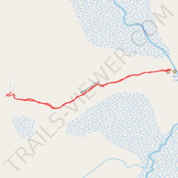
Miners Falls Trail in Pictured Rocks National Lakeshore
- Distance: 2.0 Km
- Elevation gain: 50 m
- Maximum elevation: 254 m
- Elevation loss: 48 m
- Minimum elevation: 209 m
- Moving time: 29 m 48 s
- Moving speed: 4.0 Km/h
- Maximum speed: 13.1 Km/h
- Total time: 46 m 22 s
- Global speed: 2.6 Km/h
Interactive trail map
Trail profile
- Distance: 2.0 Km
- Elevation gain: 50 m
- Maximum elevation: 254 m
- Elevation loss: 48 m
- Minimum elevation: 209 m
- Moving time: 29 m 48 s
- Moving speed: 4.0 Km/h
- Maximum speed: 13.1 Km/h
- Total time: 46 m 22 s
- Global speed: 2.6 Km/h
About this trail
Name: Miners Falls Trail in Pictured Rocks National Lakeshore trail, distance, elevation, map, profile, GPS track
Start: Miners Falls Trail, Munising Township, Alger County, Michigan, United States (46.47363 -86.54266)
End: Miners Falls Road, Munising Township, Alger County, Michigan, United States (46.47380 -86.54292)
Coordinates: 46.47298 -86.54320 46.47485 -86.53180