Bikepacking
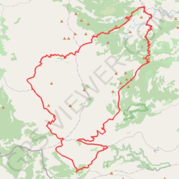
- Distance: 103.9 Km
- Elevation gain: 2,716 m
- Maximum elevation: 1,089 m
- Elevation loss: 2,713 m
- Minimum elevation: 216 m
Interactive trail map
Trail profile
- Distance: 103.9 Km
- Elevation gain: 2,716 m
- Maximum elevation: 1,089 m
- Elevation loss: 2,713 m
- Minimum elevation: 216 m
About this trail
Name: Bikepacking trail, distance, elevation, map, profile, GPS track
Coordinates: 38.91477 -0.98433 39.13075 -0.77407
Other hiking, mountain biking, running and outdoor activity trails
Click on a trail to view its statistics, map and profile.
Southern section — European Divide Trail
France > Auvergne-Rhône-Alpes > Drôme > Valence
Distance: 2,423.8 Km • Elevation gain: 42,375 m • Maximum elevation: 2,005 m
1 LUCENA - MONTPELLIER
Distance: 2,964.4 Km • Elevation gain: 29,500 m • Maximum elevation: 1,048 m