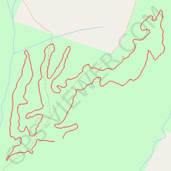
Oak Hill Community Park & Forest Multi-Use Trails
Interactive trail map
Trail profile
- Distance: 4.2 Km
- Elevation gain: 54 m
- Maximum elevation: 359 m
- Elevation loss: 55 m
- Minimum elevation: 322 m
About this trail
Name: Oak Hill Community Park & Forest Multi-Use Trails trail, distance, elevation, map, profile, GPS track
Start: Multi-Use Trail, Burke County, North Carolina, United States (35.75765 -81.74791)
End: Multi-Use Trail, Burke County, North Carolina, United States (35.75753 -81.74828)
Coordinates: 35.75685 -81.75039 35.76221 -81.74346