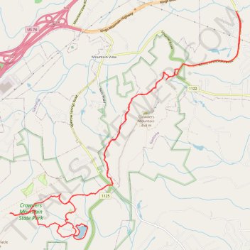
Crowders Mountain State Park
- Distance: 22.5 Km
- Elevation gain: 480 m
- Maximum elevation: 359 m
- Elevation loss: 480 m
- Minimum elevation: 210 m
- Moving time: 2 h 22 m
- Moving speed: 9.5 Km/h
- Maximum speed: 19.0 Km/h
- Total time: 2 h 22 m
- Global speed: 9.5 Km/h
Interactive trail map
Trail profile
- Distance: 22.5 Km
- Elevation gain: 480 m
- Maximum elevation: 359 m
- Elevation loss: 480 m
- Minimum elevation: 210 m
- Moving time: 2 h 22 m
- Moving speed: 9.5 Km/h
- Maximum speed: 19.0 Km/h
- Total time: 2 h 22 m
- Global speed: 9.5 Km/h
About this trail
Name: Crowders Mountain State Park trail, distance, elevation, map, profile, GPS track
Start: Tower Trail, Gastonia, Gaston County, North Carolina, United States (35.24035 -81.26938)
End: Tower Trail, Gastonia, Gaston County, North Carolina, United States (35.24044 -81.26941)
Coordinates: 35.20742 -81.30922 35.25260 -81.25346