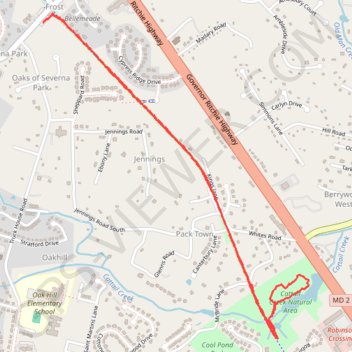
Baltimore & Annapolis Trail to Cattail Creek Natural Area
- Distance: 5.5 Km
- Elevation gain: 44 m
- Maximum elevation: 24 m
- Elevation loss: 44 m
- Minimum elevation: 2 m
- Moving time: 1 h 12 m
- Moving speed: 4.5 Km/h
- Maximum speed: 7.4 Km/h
- Total time: 1 h 16 m
- Global speed: 4.3 Km/h
Interactive trail map
Trail profile
- Distance: 5.5 Km
- Elevation gain: 44 m
- Maximum elevation: 24 m
- Elevation loss: 44 m
- Minimum elevation: 2 m
- Moving time: 1 h 12 m
- Moving speed: 4.5 Km/h
- Maximum speed: 7.4 Km/h
- Total time: 1 h 16 m
- Global speed: 4.3 Km/h
About this trail
Name: Baltimore & Annapolis Trail to Cattail Creek Natural Area trail, distance, elevation, map, profile, GPS track
Coordinates: 39.08175 -76.56981 39.09728 -76.55352