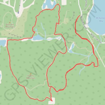
Manitou Mountain Lookout - Red Arrow Rock Outlook - Calabogie Lake
Interactive trail map
Trail profile
- Distance: 9.8 Km
- Elevation gain: 368 m
- Maximum elevation: 333 m
- Elevation loss: 368 m
- Minimum elevation: 183 m
About this trail
Name: Manitou Mountain Lookout - Red Arrow Rock Outlook - Calabogie Lake trail, distance, elevation, map, profile, GPS track
Coordinates: 45.25067 -76.78798 45.26579 -76.76787
Other hiking, mountain biking, running and outdoor activity trails
Click on a trail to view its statistics, map and profile.