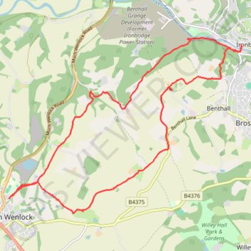
Much Wenlock to Ironbridge return
Circular walk all public foot paths
- Distance: 16.8 Km
- Elevation gain: 368 m
- Maximum elevation: 232 m
- Elevation loss: 368 m
- Minimum elevation: 43 m
- Moving time: 4 h 23 m
- Moving speed: 3.8 Km/h
- Maximum speed: 9.4 Km/h
- Total time: 5 h 59 m
- Global speed: 2.8 Km/h
Interactive trail map
Trail profile
- Distance: 16.8 Km
- Elevation gain: 368 m
- Maximum elevation: 232 m
- Elevation loss: 368 m
- Minimum elevation: 43 m
- Moving time: 4 h 23 m
- Moving speed: 3.8 Km/h
- Maximum speed: 9.4 Km/h
- Total time: 5 h 59 m
- Global speed: 2.8 Km/h
About this trail
Name: Much Wenlock to Ironbridge return trail, distance, elevation, map, profile, GPS track
Coordinates: 52.59629 -2.55741 52.62937 -2.48530