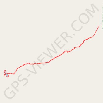
Nez Perce Lake Trail
- Distance: 9.4 Km
- Elevation gain: 579 m
- Maximum elevation: 2,719 m
- Elevation loss: 626 m
- Minimum elevation: 2,123 m
- Moving time: 2 h 59 m
- Moving speed: 3.1 Km/h
- Maximum speed: 13.7 Km/h
- Total time: 4 h 17 m
- Global speed: 2.2 Km/h
Interactive trail map
Trail profile
- Distance: 9.4 Km
- Elevation gain: 579 m
- Maximum elevation: 2,719 m
- Elevation loss: 626 m
- Minimum elevation: 2,123 m
- Moving time: 2 h 59 m
- Moving speed: 3.1 Km/h
- Maximum speed: 13.7 Km/h
- Total time: 4 h 17 m
- Global speed: 2.2 Km/h
About this trail
Name: Nez Perce Lake Trail trail, distance, elevation, map, profile, GPS track
Start: National Forest Development Road 212, Lemhi County, Idaho, United States (44.52183 -113.35123)
End: National Forest Development Road 212, Lemhi County, Idaho, United States (44.52562 -113.34728)
Coordinates: 44.50867 -113.39175 44.52562 -113.34728