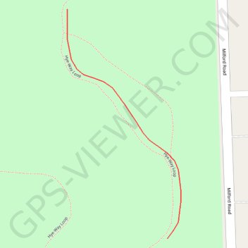
Trails in Highland Oaks County Park in Highland Township, MI
- Distance: 0.2 Km
- Elevation gain: 2 m
- Maximum elevation: 313 m
- Elevation loss: 2 m
- Minimum elevation: 311 m
- Moving time: 2 m
- Moving speed: 5.0 Km/h
- Maximum speed: 6.0 Km/h
- Total time: 2 m
- Global speed: 5.0 Km/h
Interactive trail map
Trail profile
- Distance: 0.2 Km
- Elevation gain: 2 m
- Maximum elevation: 313 m
- Elevation loss: 2 m
- Minimum elevation: 311 m
- Moving time: 2 m
- Moving speed: 5.0 Km/h
- Maximum speed: 6.0 Km/h
- Total time: 2 m
- Global speed: 5.0 Km/h
About this trail
Name: Trails in Highland Oaks County Park in Highland Township, MI trail, distance, elevation, map, profile, GPS track
Coordinates: 42.69414 -83.60693 42.69537 -83.60610