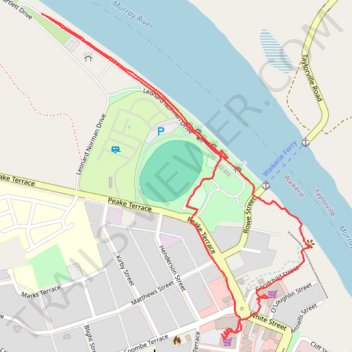
Waikerie clifftop walk
- Distance: 3.1 Km
- Elevation gain: 35 m
- Maximum elevation: 39 m
- Elevation loss: 34 m
- Minimum elevation: 10 m
- Moving time: 43 m 22 s
- Moving speed: 4.2 Km/h
- Maximum speed: 6.8 Km/h
- Total time: 1 h 2 m
- Global speed: 2.9 Km/h
Interactive trail map
Trail profile
- Distance: 3.1 Km
- Elevation gain: 35 m
- Maximum elevation: 39 m
- Elevation loss: 34 m
- Minimum elevation: 10 m
- Moving time: 43 m 22 s
- Moving speed: 4.2 Km/h
- Maximum speed: 6.8 Km/h
- Total time: 1 h 2 m
- Global speed: 2.9 Km/h
About this trail
Name: Waikerie clifftop walk trail, distance, elevation, map, profile, GPS track
Coordinates: -34.17963 139.97938 -34.17118 139.98782
Topography: The District Council of Loxton Waikerie topographic map, elevation, terrain