Rainbow Falls and Turtleback Falls
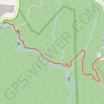
Interactive trail map
Trail profile
- Distance: 6.3 Km
- Elevation gain: 244 m
- Maximum elevation: 888 m
- Elevation loss: 244 m
- Minimum elevation: 774 m
About this trail
Name: Rainbow Falls and Turtleback Falls trail, distance, elevation, map, profile, GPS track
Start: Rainbow Falls Trail, Transylvania County, North Carolina, United States (35.08884 -82.95167)
End: Rainbow Falls Trail, Transylvania County, North Carolina, United States (35.08884 -82.95167)
Coordinates: 35.08540 -82.96865 35.09396 -82.95152
Other hiking, mountain biking, running and outdoor activity trails
Click on a trail to view its statistics, map and profile.
Rainbow Falls, Turtleback Falls and Drift Falls via Rainbow Falls Trail
United States > North Carolina > Transylvania County
The Rainbow Falls Trail in North Carolina's Nantahala National Forest offers hikers a scenic journey along the Horsepasture River, leading to three remarkable waterfalls. The trail first reveals the impressive Rainbow Falls, where water cascades down a towering cliff, often creating vibrant rainbows in its…
Distance: 6.5 Km • Elevation gain: 244 m • Maximum elevation: 887 m