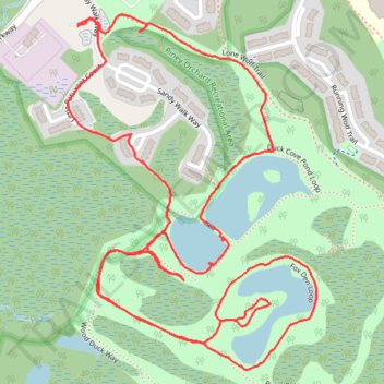
Piney Orchard Nature Preserve
- Distance: 4.4 Km
- Elevation gain: 28 m
- Maximum elevation: 35 m
- Elevation loss: 28 m
- Minimum elevation: 20 m
- Moving time: 1 h 22 m
- Moving speed: 3.2 Km/h
- Maximum speed: 5.1 Km/h
- Total time: 1 h 39 m
- Global speed: 2.6 Km/h
Interactive trail map
Trail profile
- Distance: 4.4 Km
- Elevation gain: 28 m
- Maximum elevation: 35 m
- Elevation loss: 28 m
- Minimum elevation: 20 m
- Moving time: 1 h 22 m
- Moving speed: 3.2 Km/h
- Maximum speed: 5.1 Km/h
- Total time: 1 h 39 m
- Global speed: 2.6 Km/h
About this trail
Name: Piney Orchard Nature Preserve trail, distance, elevation, map, profile, GPS track
Coordinates: 39.05322 -76.72786 39.06045 -76.72133