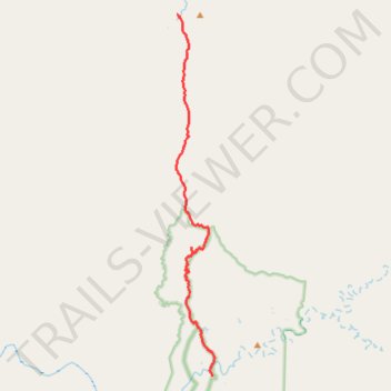
Old Coach Road
- Distance: 38.8 Km
- Elevation gain: 777 m
- Maximum elevation: 470 m
- Elevation loss: 663 m
- Minimum elevation: 166 m
- Moving time: 2 h 47 m
- Moving speed: 13.9 Km/h
- Maximum speed: 53.7 Km/h
- Total time: 3 h 45 m
- Global speed: 10.3 Km/h
Interactive trail map
Trail profile
- Distance: 38.8 Km
- Elevation gain: 777 m
- Maximum elevation: 470 m
- Elevation loss: 663 m
- Minimum elevation: 166 m
- Moving time: 2 h 47 m
- Moving speed: 13.9 Km/h
- Maximum speed: 53.7 Km/h
- Total time: 3 h 45 m
- Global speed: 10.3 Km/h
About this trail
Name: Old Coach Road trail, distance, elevation, map, profile, GPS track
Start: Old Coach Road, Laura, Queensland, 4892, Australia (-15.75045 144.26625)
End: Old Coach Road, Palmer, Queensland, 4892, Australia (-16.01694 144.29330)
Coordinates: -16.01694 144.26556 -15.75045 144.29524
Topography: Queensland topographic map, elevation, terrain