Mountains-to-Sea Trail
Purlear Trail Run
- Distance: 19.6 Km
- Elevation gain: 507 m
- Maximum elevation: 1,216 m
- Elevation loss: 583 m
- Minimum elevation: 978 m
- Moving time: 2 h 53 m
- Moving speed: 6.8 Km/h
- Maximum speed: 11.7 Km/h
- Total time: 2 h 53 m
- Global speed: 6.8 Km/h
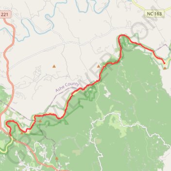
Interactive trail map
Trail profile
- Distance: 19.6 Km
- Elevation gain: 507 m
- Maximum elevation: 1,216 m
- Elevation loss: 583 m
- Minimum elevation: 978 m
- Moving time: 2 h 53 m
- Moving speed: 6.8 Km/h
- Maximum speed: 11.7 Km/h
- Total time: 2 h 53 m
- Global speed: 6.8 Km/h
About this trail
Name: Mountains-to-Sea Trail trail, distance, elevation, map, profile, GPS track
Start: Blue Ridge Parkway, Wilkes County, North Carolina, United States (36.27648 -81.37971)
End: Blue Ridge Parkway, Watauga County, North Carolina, 28618, United States (36.23097 -81.50012)
Coordinates: 36.23097 -81.50393 36.29480 -81.37940