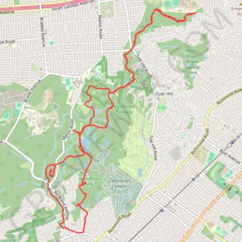
Staten Island loop run via Deere Park, Todt Hill Woods, Ohrback Lake, High Rock Park and Paulo's Peak
- Distance: 14.1 Km
- Elevation gain: 215 m
- Maximum elevation: 119 m
- Elevation loss: 218 m
- Minimum elevation: 11 m
- Moving time: 1 h 41 m
- Moving speed: 8.4 Km/h
- Maximum speed: 15.8 Km/h
- Total time: 1 h 44 m
- Global speed: 8.1 Km/h
Interactive trail map
Trail profile
- Distance: 14.1 Km
- Elevation gain: 215 m
- Maximum elevation: 119 m
- Elevation loss: 218 m
- Minimum elevation: 11 m
- Moving time: 1 h 41 m
- Moving speed: 8.4 Km/h
- Maximum speed: 15.8 Km/h
- Total time: 1 h 44 m
- Global speed: 8.1 Km/h
About this trail
Name: Staten Island loop run via Deere Park, Todt Hill Woods, Ohrback Lake, High Rock Park and Paulo's Peak trail, distance, elevation, map, profile, GPS track
Coordinates: 40.57597 -74.13108 40.60785 -74.10291