Liberty Lake
Trails in Liberty Lake, WA area
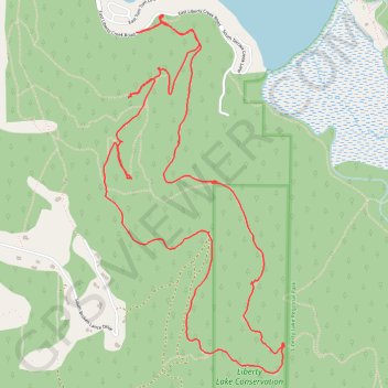
- Distance: 8.8 Km
- Elevation gain: 303 m
- Maximum elevation: 889 m
- Elevation loss: 305 m
- Minimum elevation: 674 m
- Moving time: 2 h 5 m
- Moving speed: 4.2 Km/h
- Maximum speed: 7.3 Km/h
- Total time: 2 h 39 m
- Global speed: 3.3 Km/h
Interactive trail map
Trail profile
- Distance: 8.8 Km
- Elevation gain: 303 m
- Maximum elevation: 889 m
- Elevation loss: 305 m
- Minimum elevation: 674 m
- Moving time: 2 h 5 m
- Moving speed: 4.2 Km/h
- Maximum speed: 7.3 Km/h
- Total time: 2 h 39 m
- Global speed: 3.3 Km/h
About this trail
Name: Liberty Lake trail, distance, elevation, map, profile, GPS track
Coordinates: 47.61764 -117.08166 47.63640 -117.06767