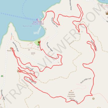
Mount Caroline Livermore loop hike via Sunset Trail and North Ridge Trail on Angel Island
- Distance: 6.7 Km
- Elevation gain: 352 m
- Maximum elevation: 188 m
- Elevation loss: 351 m
- Minimum elevation: 0 m
- Moving time: 1 h 44 m
- Moving speed: 3.9 Km/h
- Maximum speed: 9.5 Km/h
- Total time: 2 h 38 m
- Global speed: 2.5 Km/h
Interactive trail map
Trail profile
- Distance: 6.7 Km
- Elevation gain: 352 m
- Maximum elevation: 188 m
- Elevation loss: 351 m
- Minimum elevation: 0 m
- Moving time: 1 h 44 m
- Moving speed: 3.9 Km/h
- Maximum speed: 9.5 Km/h
- Total time: 2 h 38 m
- Global speed: 2.5 Km/h
About this trail
Name: Mount Caroline Livermore loop hike via Sunset Trail and North Ridge Trail on Angel Island trail, distance, elevation, map, profile, GPS track
Coordinates: 37.86016 -122.43856 37.87025 -122.42778