Import a GPX file

The Cross

Hike from Palm Desert to The Cross in the Santa Rosa and San Jacinto Mountains National Monument. #Hiking #Mountain #Desert #Nature

  • Distance: 1.8 Km
  • Elevation gain: 207 m
  • Maximum elevation: 307 m
  • Elevation loss: 34 m
  • Minimum elevation: 126 m

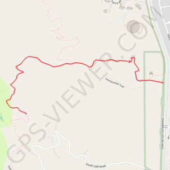
Interactive trail map

Trail profile

  • Distance: 1.8 Km
  • Elevation gain: 207 m
  • Maximum elevation: 307 m
  • Elevation loss: 34 m
  • Minimum elevation: 126 m

About this trail

Other hiking, mountain biking, running and outdoor activity trails

Click on a trail to view its statistics, map and profile.

Art Smith Trail

United States > California > Riverside County

Hike on the Art Smith Trail in the Santa Rosa and San Jacinto Mountains National Monument. #Hiking #Desert #Nature #Mountains

Distance: 12.8 Km • Elevation gain: 707 m • Maximum elevation: 752 m

Gear up for your next adventure:

🎒Ultralight Backpacks - Lightweight packs for long hikes
🥤Hydration Packs - Hydration systems for hiking
🩹Blister Prevention Tape - Apply to friction points before they become painful sores
🗺️Topographic Maps - Detailed maps for hiking and navigation
🆘Personal Locator Beacons (PLB) - Satellite emergency beacons for life-saving help in areas with no mobile coverage

As an Amazon Associate, this site earns from qualifying purchases at no extra cost to you.