Loop including new Covered Bridge (CB) trail
Morning hike
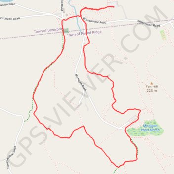
- Distance: 5.7 Km
- Elevation gain: 112 m
- Maximum elevation: 188 m
- Elevation loss: 107 m
- Minimum elevation: 110 m
- Moving time: 1 h 22 m
- Moving speed: 4.1 Km/h
- Maximum speed: 8.5 Km/h
- Total time: 1 h 29 m
- Global speed: 3.8 Km/h
Interactive trail map
Trail profile
- Distance: 5.7 Km
- Elevation gain: 112 m
- Maximum elevation: 188 m
- Elevation loss: 107 m
- Minimum elevation: 110 m
- Moving time: 1 h 22 m
- Moving speed: 4.1 Km/h
- Maximum speed: 8.5 Km/h
- Total time: 1 h 29 m
- Global speed: 3.8 Km/h
About this trail
Name: Loop including new Covered Bridge (CB) trail trail, distance, elevation, map, profile, GPS track
Coordinates: 41.24452 -73.60549 41.25937 -73.59231
Other hiking, mountain biking, running and outdoor activity trails
Click on a trail to view its statistics, map and profile.