
Meccacopia and Little Box Canyon Loop
From the Box Canyon Road area, this loop enters the open desert of the Mecca Hills Wilderness, where sandy tracks cross low ridges, dry washes, and eroded badlands.
The route follows the Meccacopia and Little Box Canyon trail corridors through a quiet landscape shaped by folded rock, pale slopes, and sparse desert vegetation.
It returns through a succession of gullies and canyon-like passages, offering a compact overview of the rugged, maze-like terrain of the Mecca Hills.
#Hiking #Loop #Nature #Desert #Canyon #Wilderness
- Distance: 16.4 Km
- Elevation gain: 407 m
- Maximum elevation: 361 m
- Elevation loss: 408 m
- Minimum elevation: 239 m
- Moving time: 4 h 37 m
- Moving speed: 3.6 Km/h
- Maximum speed: 6.4 Km/h
- Total time: 4 h 49 m
- Global speed: 3.4 Km/h
Interactive trail map
Trail profile
- Distance: 16.4 Km
- Elevation gain: 407 m
- Maximum elevation: 361 m
- Elevation loss: 408 m
- Minimum elevation: 239 m
- Moving time: 4 h 37 m
- Moving speed: 3.6 Km/h
- Maximum speed: 6.4 Km/h
- Total time: 4 h 49 m
- Global speed: 3.4 Km/h
About this trail
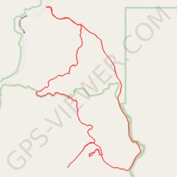
Name: Meccacopia and Little Box Canyon Loop trail, distance, elevation, map, profile, GPS track
Start: Meccacopia Jeep Trail, Riverside County, California, United States (33.62091 -115.91086)
End: Meccacopia Jeep Trail, Riverside County, California, United States (33.62094 -115.91088)
Coordinates: 33.58392 -115.91350 33.62104 -115.88518