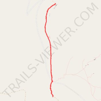
Trailhead Wall via North Country South Trail
- Distance: 5.6 Km
- Elevation gain: 98 m
- Maximum elevation: 2,685 m
- Elevation loss: 98 m
- Minimum elevation: 2,613 m
- Moving time: 42 m 33 s
- Moving speed: 7.9 Km/h
- Maximum speed: 12.7 Km/h
- Total time: 42 m 33 s
- Global speed: 7.9 Km/h
Interactive trail map
Trail profile
- Distance: 5.6 Km
- Elevation gain: 98 m
- Maximum elevation: 2,685 m
- Elevation loss: 98 m
- Minimum elevation: 2,613 m
- Moving time: 42 m 33 s
- Moving speed: 7.9 Km/h
- Maximum speed: 12.7 Km/h
- Total time: 42 m 33 s
- Global speed: 7.9 Km/h
About this trail
Name: Trailhead Wall via North Country South Trail trail, distance, elevation, map, profile, GPS track
Start: Limestone Mountain Road, Fremont County, Wyoming, United States (42.58255 -108.75122)
End: Limestone Mountain Road, Fremont County, Wyoming, United States (42.58281 -108.75119)
Coordinates: 42.58255 -108.75380 42.60502 -108.75032