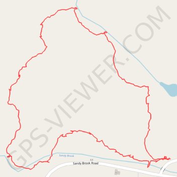
Hiking Trail in Colebrook, CT
Afternoon hike
- Distance: 2.4 Km
- Elevation gain: 55 m
- Maximum elevation: 359 m
- Elevation loss: 55 m
- Minimum elevation: 314 m
- Moving time: 48 m 16 s
- Moving speed: 3.0 Km/h
- Maximum speed: 9.9 Km/h
- Total time: 51 m 38 s
- Global speed: 2.8 Km/h
Interactive trail map
Trail profile
- Distance: 2.4 Km
- Elevation gain: 55 m
- Maximum elevation: 359 m
- Elevation loss: 55 m
- Minimum elevation: 314 m
- Moving time: 48 m 16 s
- Moving speed: 3.0 Km/h
- Maximum speed: 9.9 Km/h
- Total time: 51 m 38 s
- Global speed: 2.8 Km/h
About this trail
Name: Hiking Trail in Colebrook, CT trail, distance, elevation, map, profile, GPS track
Coordinates: 42.01408 -73.10245 42.01887 -73.09593