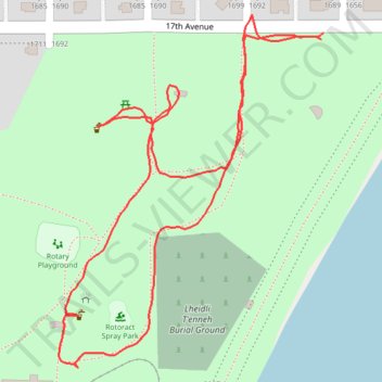
Lheidli T'enneh Memorial Park
- Distance: 1.4 Km
- Elevation gain: 11 m
- Maximum elevation: 580 m
- Elevation loss: 11 m
- Minimum elevation: 572 m
- Moving time: 19 m 38 s
- Moving speed: 4.2 Km/h
- Maximum speed: 6.9 Km/h
- Total time: 20 m 20 s
- Global speed: 4.0 Km/h
Interactive trail map
Trail profile
- Distance: 1.4 Km
- Elevation gain: 11 m
- Maximum elevation: 580 m
- Elevation loss: 11 m
- Minimum elevation: 572 m
- Moving time: 19 m 38 s
- Moving speed: 4.2 Km/h
- Maximum speed: 6.9 Km/h
- Total time: 20 m 20 s
- Global speed: 4.0 Km/h
About this trail
Name: Lheidli T'enneh Memorial Park trail, distance, elevation, map, profile, GPS track
Coordinates: 53.90555 -122.73507 53.90858 -122.73122