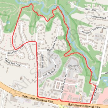
Ellicott City - David W Force Park
- Distance: 4.8 Km
- Elevation gain: 43 m
- Maximum elevation: 138 m
- Elevation loss: 42 m
- Minimum elevation: 110 m
- Moving time: 59 m 42 s
- Moving speed: 4.8 Km/h
- Maximum speed: 10.7 Km/h
- Total time: 1 h 1 m
- Global speed: 4.6 Km/h
Interactive trail map
Trail profile
- Distance: 4.8 Km
- Elevation gain: 43 m
- Maximum elevation: 138 m
- Elevation loss: 42 m
- Minimum elevation: 110 m
- Moving time: 59 m 42 s
- Moving speed: 4.8 Km/h
- Maximum speed: 10.7 Km/h
- Total time: 1 h 1 m
- Global speed: 4.6 Km/h
About this trail
Name: Ellicott City - David W Force Park trail, distance, elevation, map, profile, GPS track
Coordinates: 39.27962 -76.87166 39.29099 -76.85938