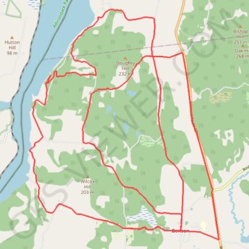
Gravel Bike Vermont
- Distance: 43.3 Km
- Elevation gain: 814 m
- Maximum elevation: 199 m
- Elevation loss: 814 m
- Minimum elevation: 28 m
- Moving time: 2 h 48 m
- Moving speed: 15.4 Km/h
- Maximum speed: 57.9 Km/h
- Total time: 3 h 10 m
- Global speed: 13.6 Km/h
Interactive trail map
Trail profile
- Distance: 43.3 Km
- Elevation gain: 814 m
- Maximum elevation: 199 m
- Elevation loss: 814 m
- Minimum elevation: 28 m
- Moving time: 2 h 48 m
- Moving speed: 15.4 Km/h
- Maximum speed: 57.9 Km/h
- Total time: 3 h 10 m
- Global speed: 13.6 Km/h
About this trail
Name: Gravel Bike Vermont trail, distance, elevation, map, profile, GPS track
Coordinates: 43.70429 -73.36733 43.76681 -73.29611
Other hiking, mountain biking, running and outdoor activity trails
Click on a trail to view its statistics, map and profile.