Bullock Hill trig point
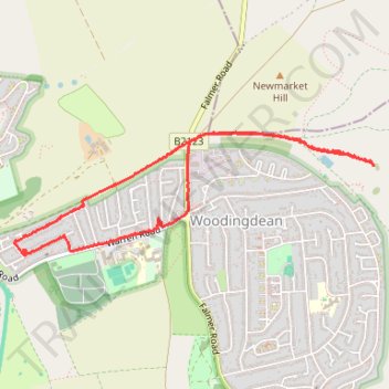
- Distance: 5.5 Km
- Elevation gain: 79 m
- Maximum elevation: 196 m
- Elevation loss: 79 m
- Minimum elevation: 131 m
- Moving time: 1 h 4 m
- Moving speed: 5.1 Km/h
- Maximum speed: 14.2 Km/h
- Total time: 1 h 10 m
- Global speed: 4.7 Km/h
Interactive trail map
Trail profile
- Distance: 5.5 Km
- Elevation gain: 79 m
- Maximum elevation: 196 m
- Elevation loss: 79 m
- Minimum elevation: 131 m
- Moving time: 1 h 4 m
- Moving speed: 5.1 Km/h
- Maximum speed: 14.2 Km/h
- Total time: 1 h 10 m
- Global speed: 4.7 Km/h
About this trail
Name: Bullock Hill trig point trail, distance, elevation, map, profile, GPS track
Coordinates: 50.83469 -0.08990 50.84125 -0.05937
Other hiking, mountain biking, running and outdoor activity trails
Click on a trail to view its statistics, map and profile.