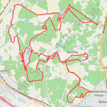
96 Winery - Somerbosch 50Km Loop
- Distance: 50.0 Km
- Elevation gain: 550 m
- Maximum elevation: 143 m
- Elevation loss: 554 m
- Minimum elevation: 17 m
Interactive trail map
Trail profile
- Distance: 50.0 Km
- Elevation gain: 550 m
- Maximum elevation: 143 m
- Elevation loss: 554 m
- Minimum elevation: 17 m
About this trail
Name: 96 Winery - Somerbosch 50Km Loop trail, distance, elevation, map, profile, GPS track
Coordinates: -34.05045 18.76052 -33.99740 18.81871