Cave Creek and Skyline trails
Pecos Wilderness hike
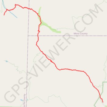
- Distance: 13.4 Km
- Elevation gain: 941 m
- Maximum elevation: 3,301 m
- Elevation loss: 268 m
- Minimum elevation: 2,548 m
- Moving time: 4 h 31 m
- Moving speed: 3.0 Km/h
- Maximum speed: 5.8 Km/h
- Total time: 6 h 10 m
- Global speed: 2.2 Km/h
Interactive trail map
Trail profile
- Distance: 13.4 Km
- Elevation gain: 941 m
- Maximum elevation: 3,301 m
- Elevation loss: 268 m
- Minimum elevation: 2,548 m
- Moving time: 4 h 31 m
- Moving speed: 3.0 Km/h
- Maximum speed: 5.8 Km/h
- Total time: 6 h 10 m
- Global speed: 2.2 Km/h
About this trail
Name: Cave Creek and Skyline trails trail, distance, elevation, map, profile, GPS track
End: Redondo Peak Trail, Santa Fe County, New Mexico, United States (35.88316 -105.73860)
Coordinates: 35.82992 -105.73862 35.88963 -105.66418