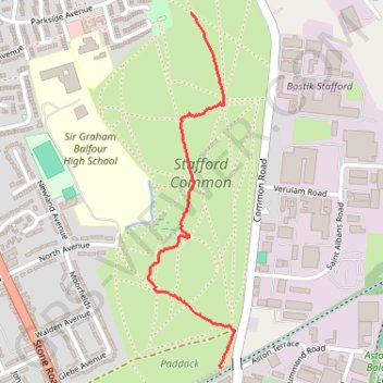
Stafford Common
- Distance: 1.4 Km
- Elevation gain: 4 m
- Maximum elevation: 90 m
- Elevation loss: 11 m
- Minimum elevation: 80 m
- Moving time: 23 m 39 s
- Moving speed: 3.6 Km/h
- Maximum speed: 6.0 Km/h
- Total time: 31 m 13 s
- Global speed: 2.7 Km/h
Interactive trail map
Trail profile
- Distance: 1.4 Km
- Elevation gain: 4 m
- Maximum elevation: 90 m
- Elevation loss: 11 m
- Minimum elevation: 80 m
- Moving time: 23 m 39 s
- Moving speed: 3.6 Km/h
- Maximum speed: 6.0 Km/h
- Total time: 31 m 13 s
- Global speed: 2.7 Km/h
About this trail
Name: Stafford Common trail, distance, elevation, map, profile, GPS track
Coordinates: 52.82096 -2.12184 52.82998 -2.11822