Crawford Creek Trail - Dauphin Lake
Riding Mountain National Park. #Hiking #RidingMountain
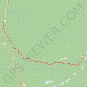
- Distance: 11.9 Km
- Elevation gain: 316 m
- Maximum elevation: 715 m
- Elevation loss: 33 m
- Minimum elevation: 418 m
Interactive trail map
Trail profile
- Distance: 11.9 Km
- Elevation gain: 316 m
- Maximum elevation: 715 m
- Elevation loss: 33 m
- Minimum elevation: 418 m
About this trail
Name: Crawford Creek Trail - Dauphin Lake trail, distance, elevation, map, profile, GPS track
Start: Crawford Creek, Rural Municipality of Dauphin, Manitoba, Canada (50.99737 -100.06493)
End: Rural Municipality of Dauphin, Manitoba, Canada (50.96849 -99.95479)
Coordinates: 50.95912 -100.06612 50.99742 -99.95479