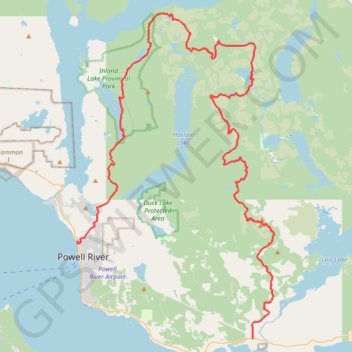
Sunshine Coast Trail
- Distance: 75.0 Km
- Elevation gain: 3,583 m
- Maximum elevation: 1,151 m
- Elevation loss: 3,536 m
- Minimum elevation: 3 m
Interactive trail map
Trail profile
- Distance: 75.0 Km
- Elevation gain: 3,583 m
- Maximum elevation: 1,151 m
- Elevation loss: 3,536 m
- Minimum elevation: 3 m
About this trail
Name: Sunshine Coast Trail trail, distance, elevation, map, profile, GPS track
Coordinates: 49.77955 -124.53037 50.00159 -124.32184