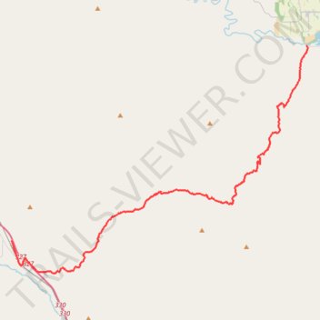
Lookout Mountain Road
- Distance: 44.0 Km
- Elevation gain: 1,232 m
- Maximum elevation: 1,629 m
- Elevation loss: 1,413 m
- Minimum elevation: 641 m
- Moving time: 1 h 57 m
- Moving speed: 22.5 Km/h
- Maximum speed: 80.7 Km/h
- Total time: 2 h 20 m
- Global speed: 18.7 Km/h
Interactive trail map
Trail profile
- Distance: 44.0 Km
- Elevation gain: 1,232 m
- Maximum elevation: 1,629 m
- Elevation loss: 1,413 m
- Minimum elevation: 641 m
- Moving time: 1 h 57 m
- Moving speed: 22.5 Km/h
- Maximum speed: 80.7 Km/h
- Total time: 2 h 20 m
- Global speed: 18.7 Km/h
About this trail
Name: Lookout Mountain Road trail, distance, elevation, map, profile, GPS track
Start: 35902, Lang Road, Durkee, Baker County, Oregon, 97905, United States (44.60051 -117.47466)
End: Daly Creek Road, Baker County, Oregon, United States (44.74372 -117.17007)
Coordinates: 44.57665 -117.47466 44.74372 -117.16855